← ProjectsProgetti · SurveyRilievo
58 elevations,
one scanner.58 prospetti,
un solo scanner.
Laser scanning survey and full graphic restitution of an urban residential complex in the province of Arezzo. The deliverables ran from floor plans and sections to all 58 elevations, plus the documentation behind the bill of quantities. Rilievo laser scanner e restituzione grafica completa di un complesso residenziale urbano in provincia di Arezzo. Gli elaborati vanno dalle piante e sezioni ai 58 prospetti, fino alla documentazione a supporto del computo metrico.
The problemIl problema
A residential complex with 58 distinct building elevations needed accurate, current documentation. That geometry cannot be rebuilt from old drawings or tape measurements. The survey had to capture every façade precisely enough to support comparative drawings and a reliable bill of quantities. Un complesso residenziale con 58 prospetti distinti richiedeva una documentazione accurata e aggiornata. È una geometria impossibile da ricostruire da vecchi elaborati o misure manuali. Il rilievo doveva restituire ogni facciata con la precisione necessaria per tavole comparative e un computo metrico affidabile.
The methodIl metodo
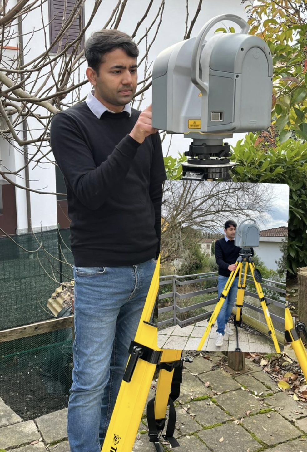
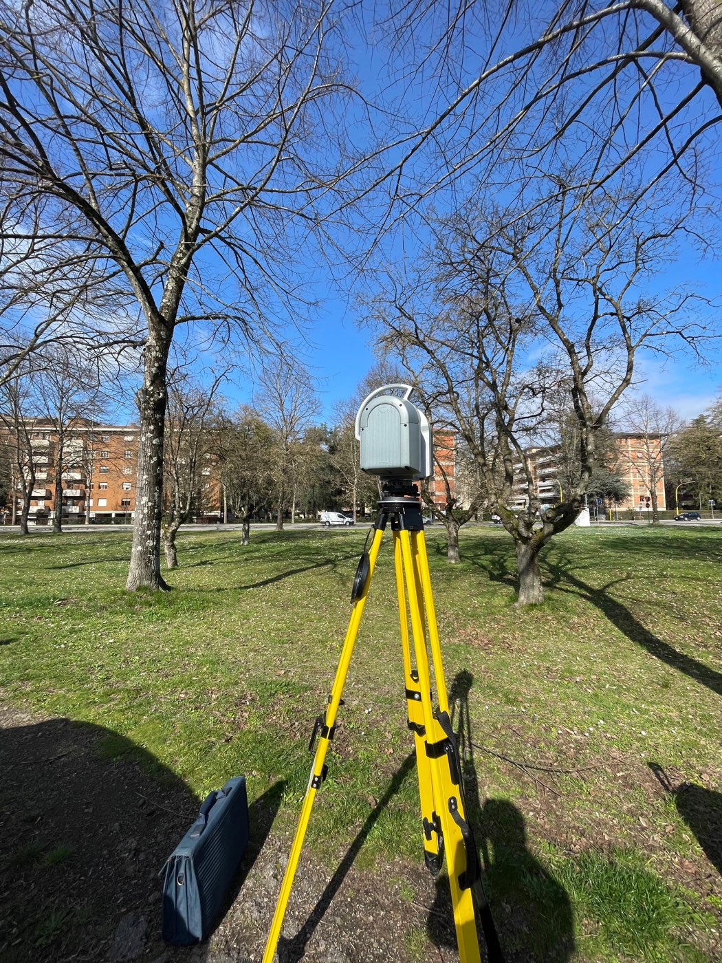
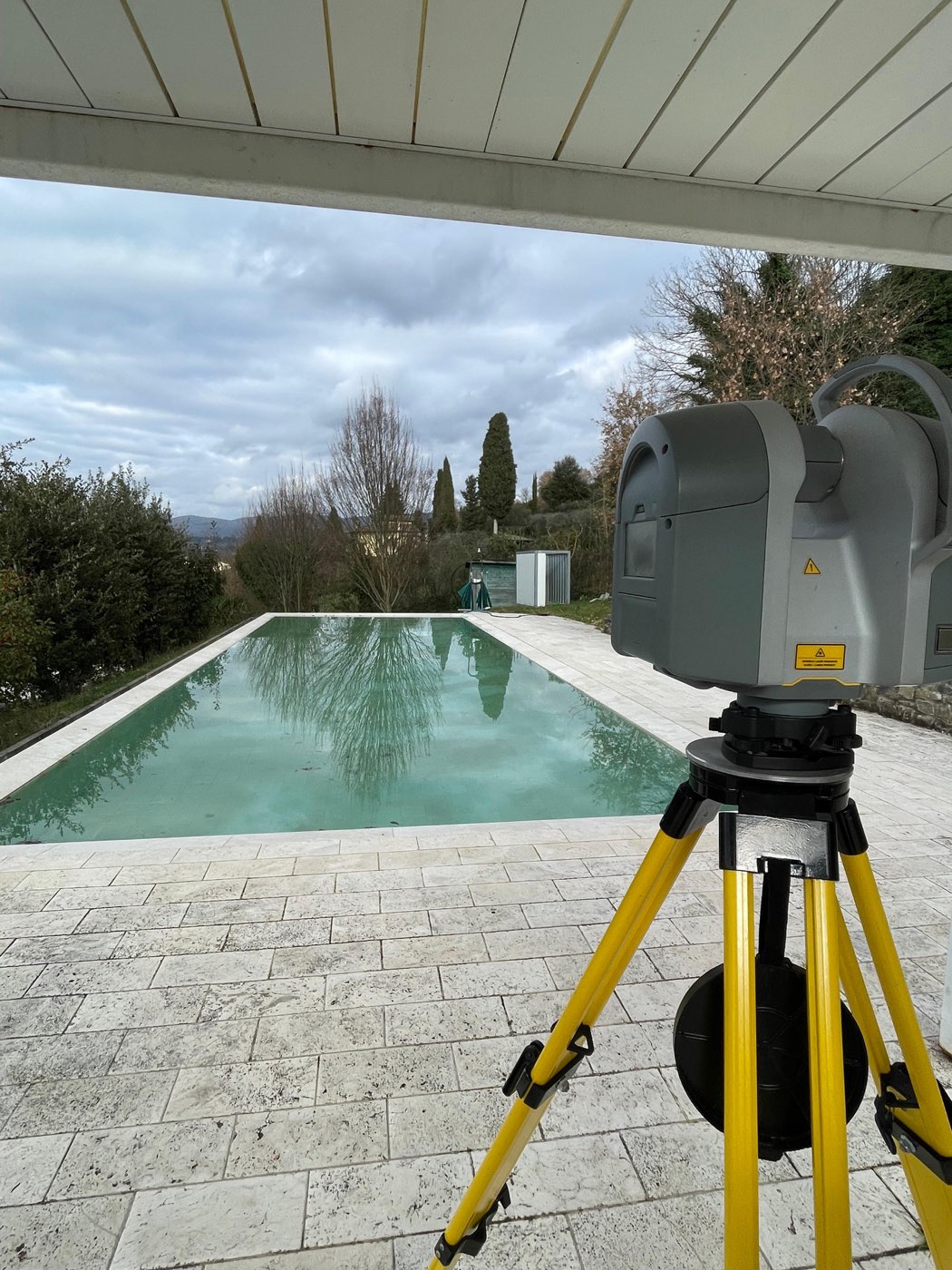
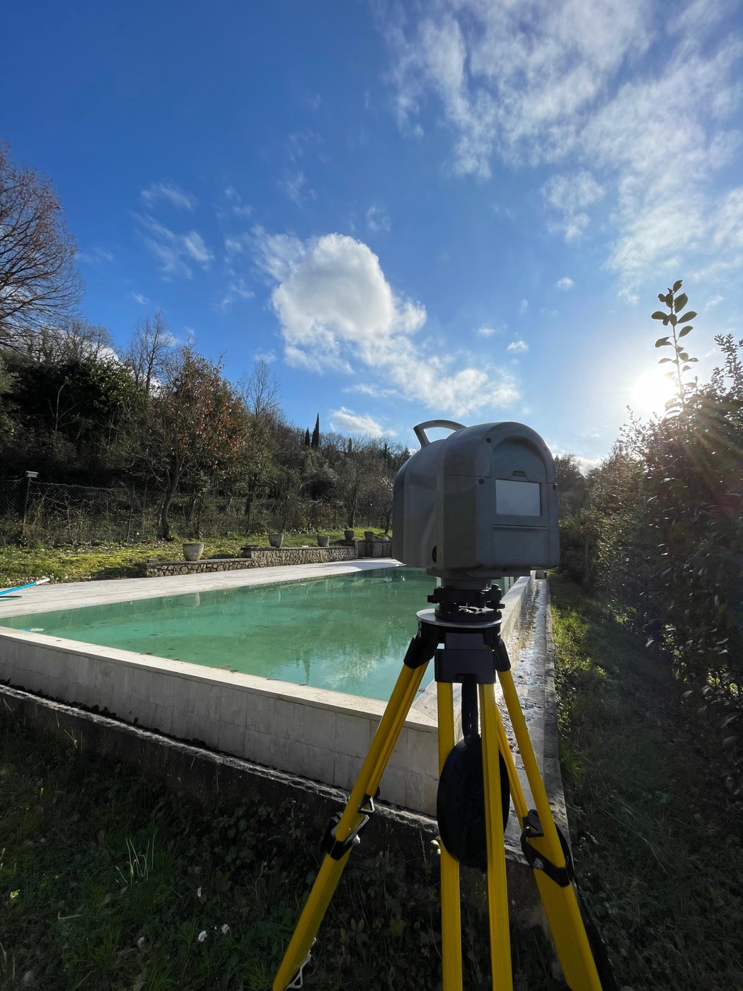
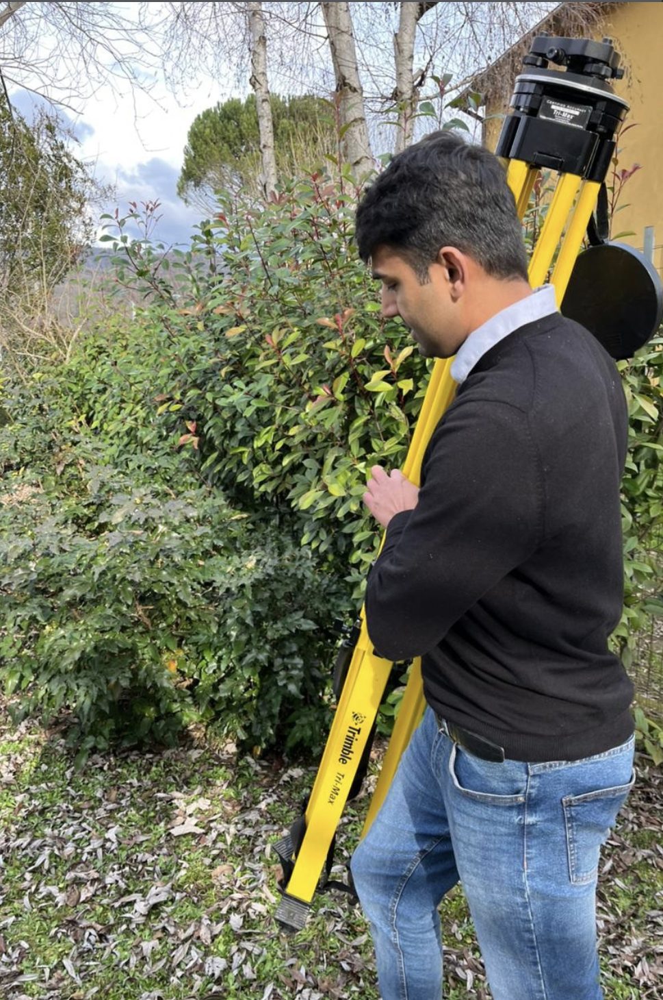
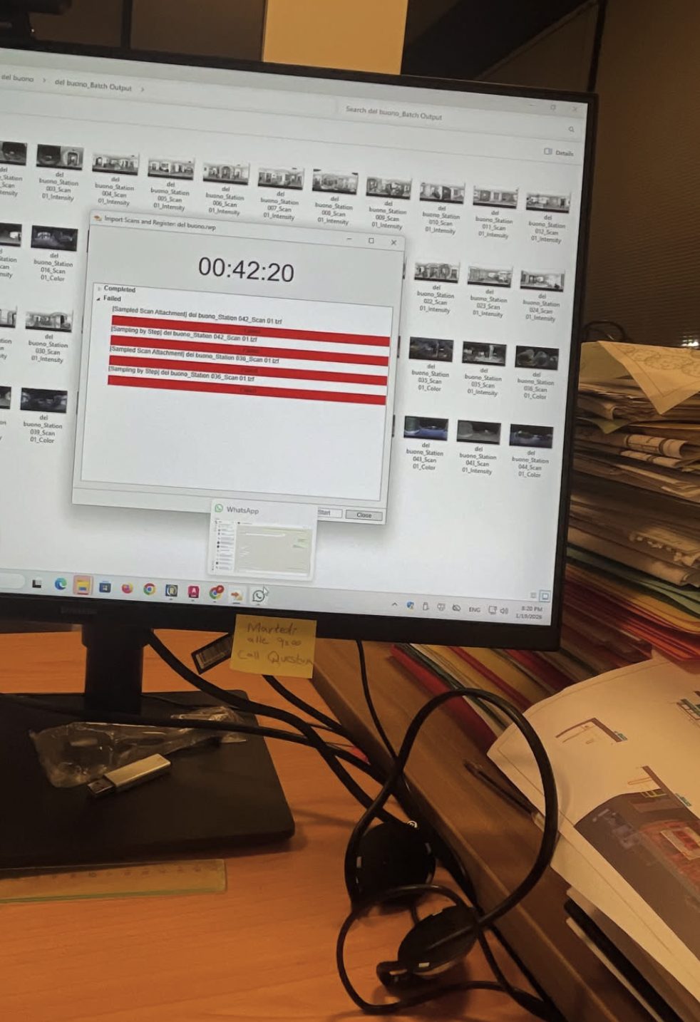
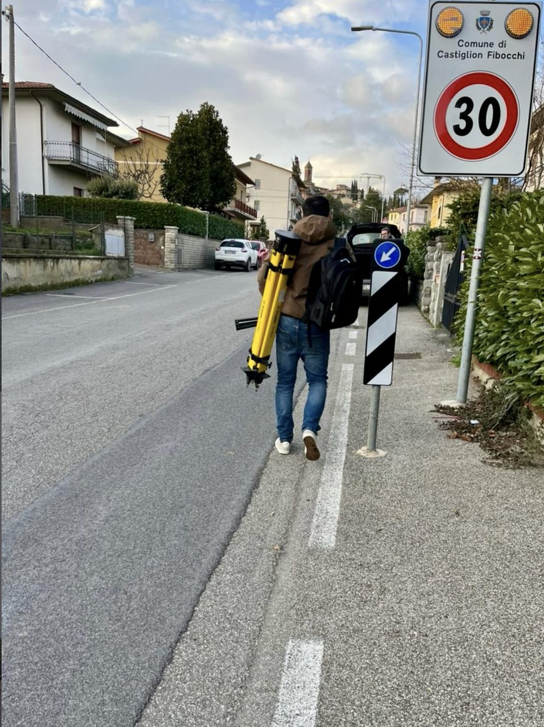
I planned and executed the scan campaign with the Trimble TX8, moving station by station through the complex, more than forty set-ups in total, so that every elevation was covered from overlapping positions. The stations were registered into a single point cloud in Trimble RealWorks, then sectioned and traced in AutoCAD. Ho pianificato ed eseguito la campagna di scansione con il Trimble TX8, spostandomi stazione per stazione nel complesso, oltre quaranta stazionamenti in totale, così da coprire ogni prospetto da posizioni sovrapposte. Le stazioni sono state registrate in un'unica nuvola di punti in Trimble RealWorks, poi sezionata e lucidata in AutoCAD.
The resultIl risultato
- Site plan, floor plans and all 58 elevations drawn from the registered cloudPlanimetria, piante e tutti i 58 prospetti restituiti dalla nuvola registrata
- Comparative drawings documenting the existing stateTavole comparative dello stato di fatto
- Documentation supporting the bill of quantities in PrimusDocumentazione a supporto del computo metrico in Primus